Next Thursday, July 2nd at 6 PM, Casa América presents, together with the University of Salamanca, the round table Boundaries, cartography, and territorial configuration in Hispanic and Portuguese America during the 18th century. Free entry until full capacity.
This event is part of the cycle 1776: Spain, America, and the monarchy of Carlos III in a changing world, coordinated by José Manuel Santos, professor at the University of Salamanca.
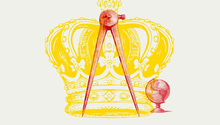
The 18th century was characterized by significant political, social, and institutional transformations. One theme that is sometimes forgotten is that it was also a century of profound advances in cartographic science and in the efforts to establish clearly and scientifically, with new principles that buried the old medieval agreements, the territorial limits between the different political conglomerates, both in Europe and in America.
South America was the subject of observations and measurements to clearly establish limits that had been diffuse and permeable in the previous two centuries. The territorial configurations resulting from these field studies were first translated into maps and then into treaties, forming, as in the case of Brazil, geographical delimitations that would ultimately determine the borders of nation-states in the 19th century. This table will discuss these transformations, which were crucial in the evolution of events in the Americas during the 18th century.
The speakers will include José Manuel Santos, associate professor of American History at the University of Salamanca; Benita Herreros, professor at the University of Cantabria, and David Martín Marcos, associate professor of Modern History at UNED.